Exploring Maps
In this section, we are going to explore all tools provided on the Map View page. From the list of available maps, you can select the map you are interested in and click View map, THe map vie will look like this.
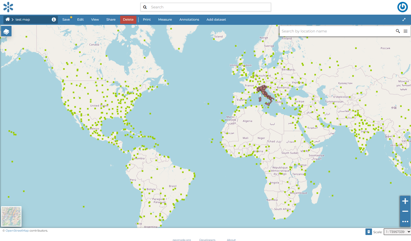
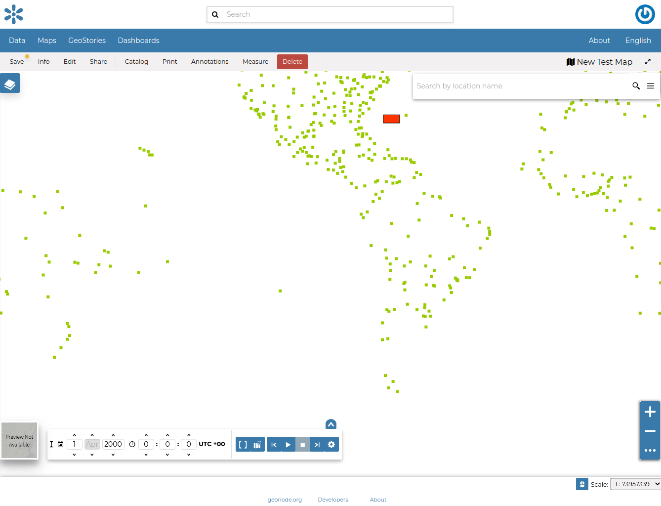
The Map View
The Map Viewer (based on MapStore) provides the following tools:
the Table of Contents (TOC) to manage the map contents;
the Basemap Switcher to change the basemap (see the next paragraphs);
the Search Bar to search by location, name and coordinates (see the paragraph below);
the Other Menu Tools which contains the link to the Print tool, to the datasets Catalog, to the Measure tool and the Annotations tool;
the Sidebar and its tools such as the Zoom tools and the Get Features Info tool;
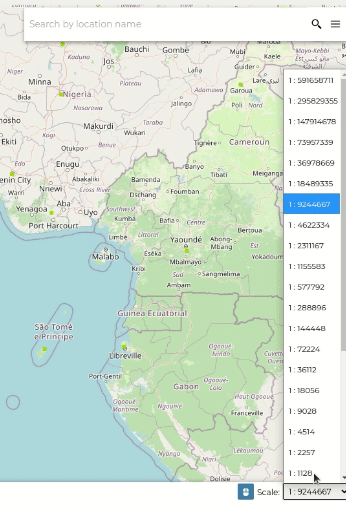
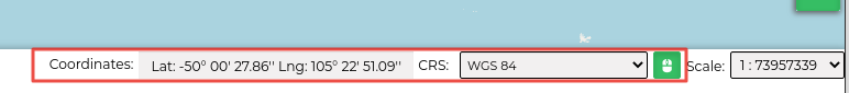
the Footer Tools to manage the scale of the map, to track the mouse coordinates and change the CRS (Coordinates Reference System).
Search Bar
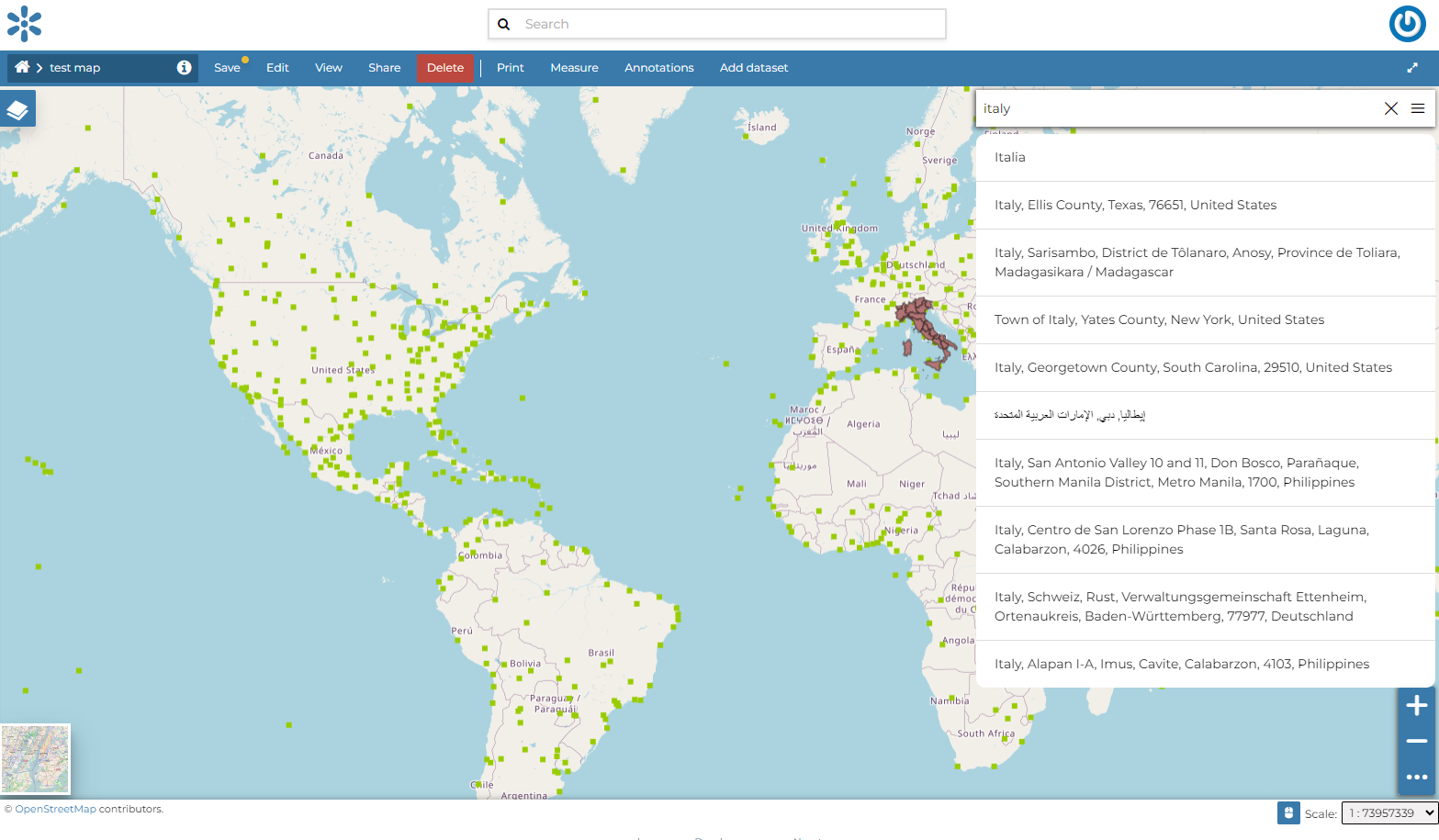
The Search Bar
The map will automatically re-center on that area delimiting it by a polygon in the case of an area, by a line in the case of a linear shape (e.g. streets, streams) and by a marker in the case of a point.
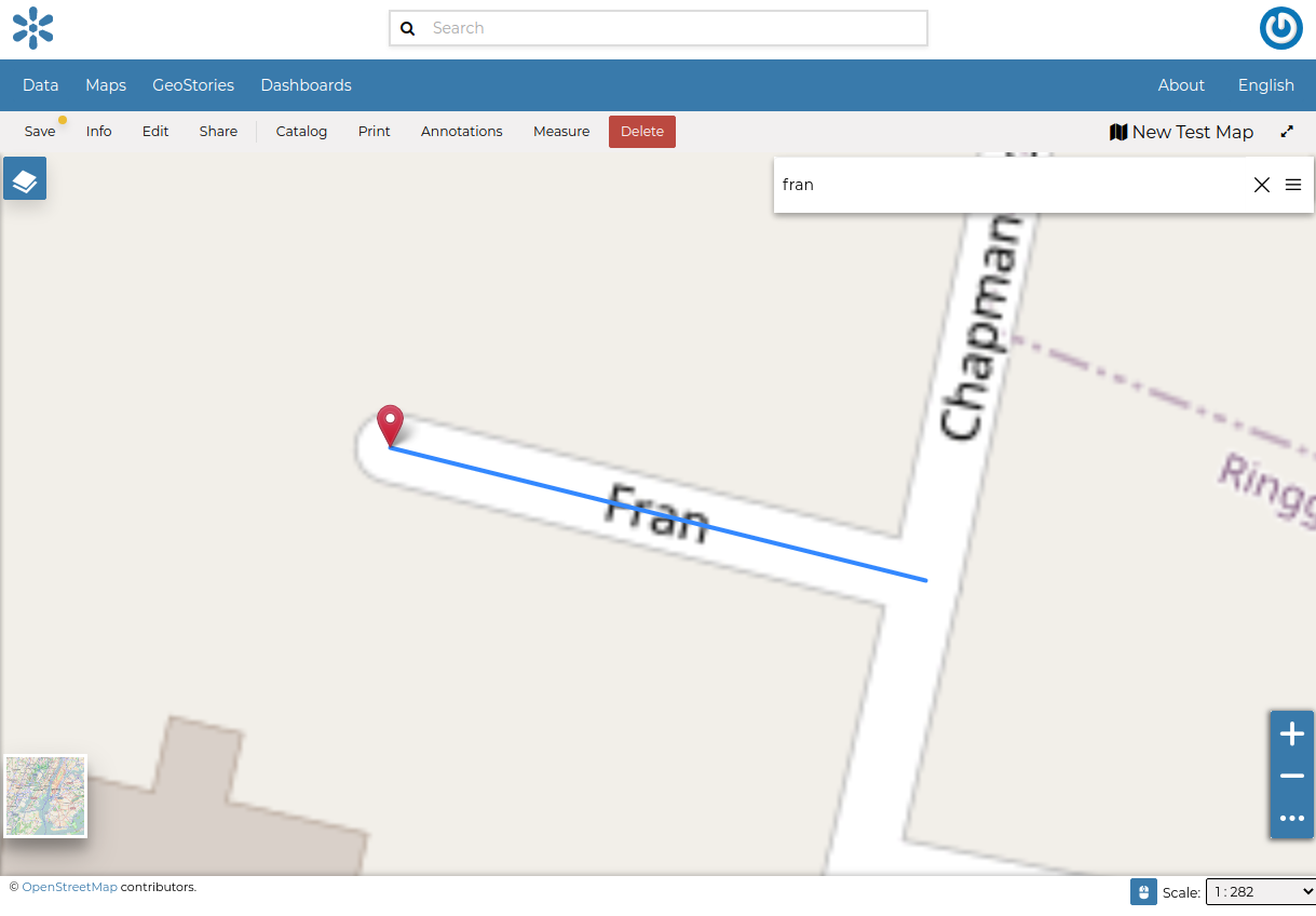
Result of a Search
Sidebar Tools
 and
and  , other options can be explored by clicking on
  which expands/collapses the toolbar.
The Default Sidebar

The Expanded Sidebar
The Sidebar contains the following tools:
The Query Objects on map allows you to get feature information through the
 button.
It allows you to retrieve information about the features of some datasets by clicking them directly on the map.
button.
It allows you to retrieve information about the features of some datasets by clicking them directly on the map.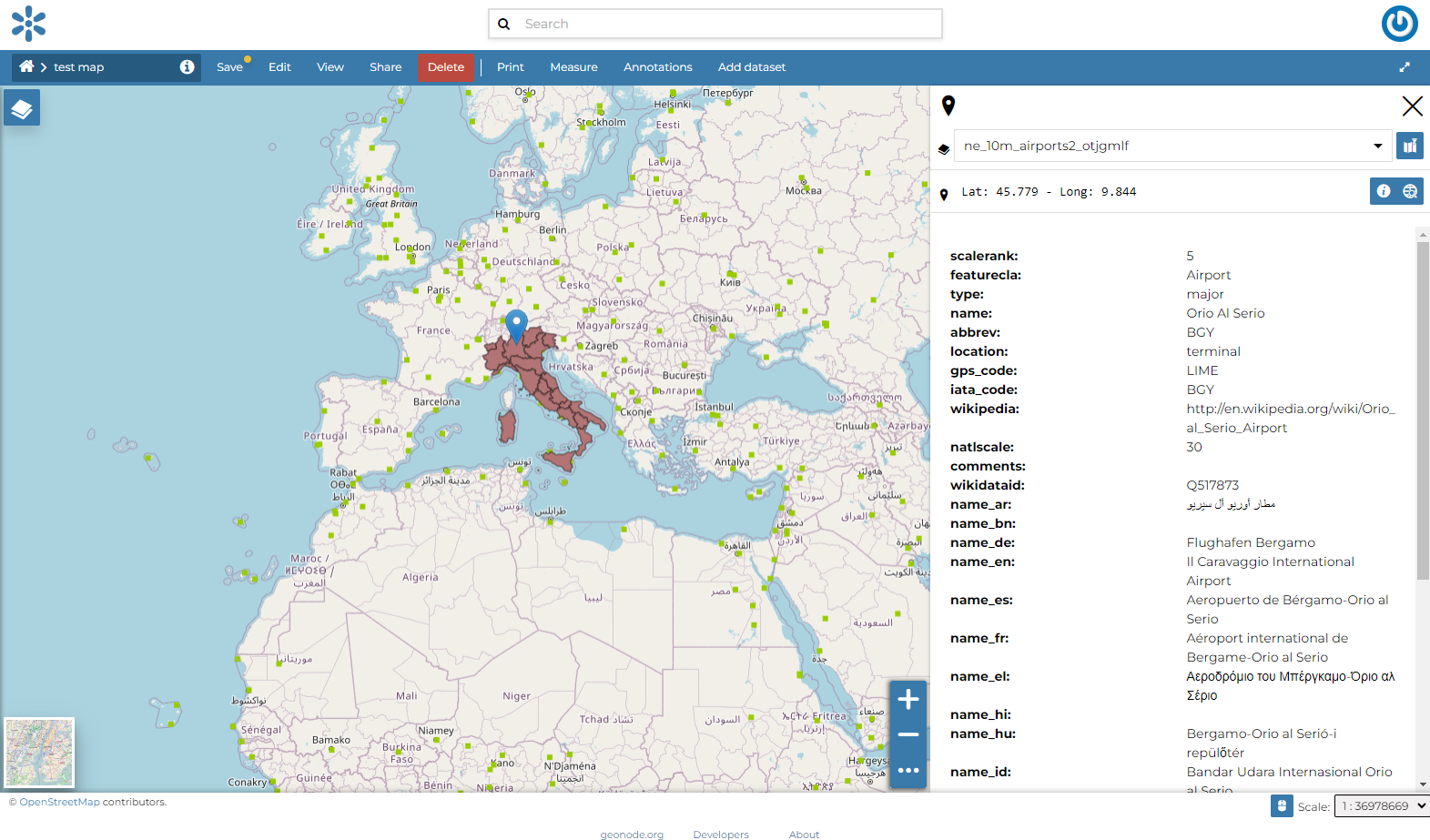
Querying Objects on map
When clicking on map a new panel opens. That panel will show you all the information about the clicked features for each active loaded dataset.
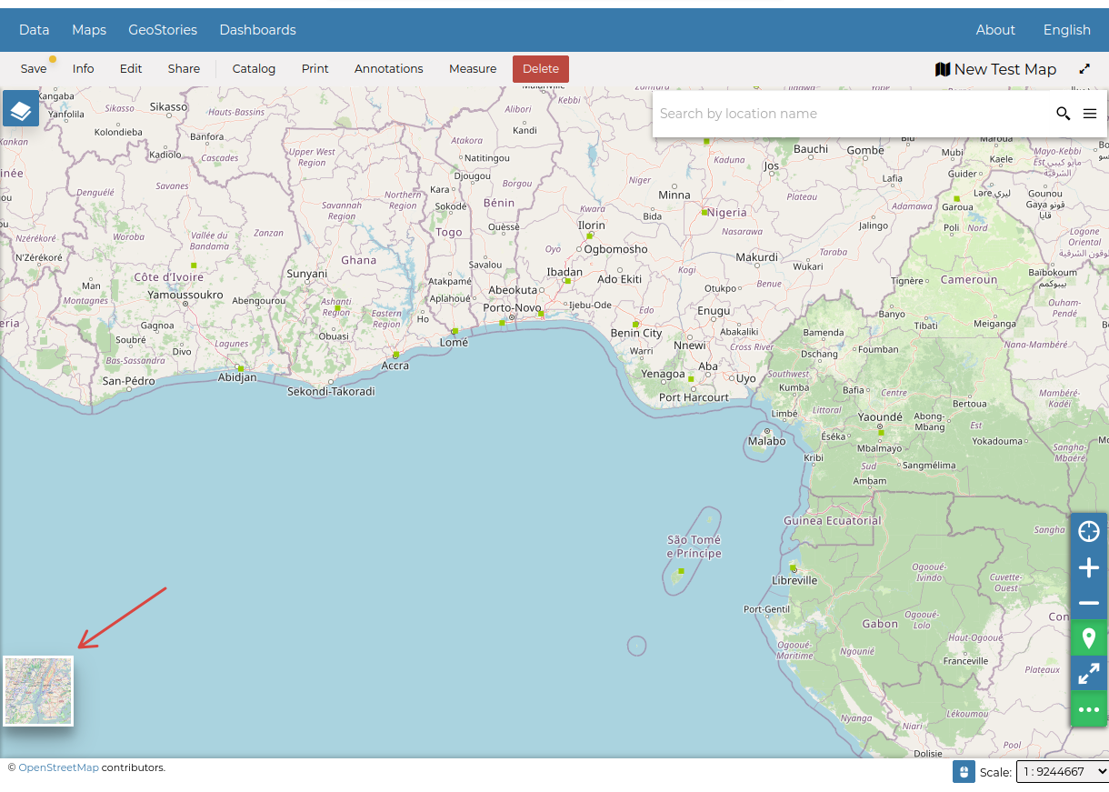
You can Zoom To Max Extent by clicking
 .
.
Basemap Switcher
By default, GeoNode allows to enrich maps with many world backgrounds. You can open available backgrounds by clicking on the map tile below:
OpenStreetMap
OpenTopoMap
Sentinel-2-cloudless
The Basemap Switcher Tool
You can also decide to have an Empty Background.
Switching the Basemap