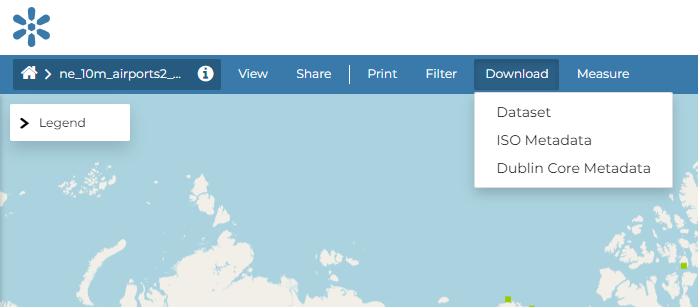
Downloading Datasets
At the top of the Dataset Menu there is an Download link where it is possible to download:
Dataset
ISO Metadata
Dublin Core Metadata
Clicking the ISO Metadata or the Dublin Core Metadata exports the layer metadata in xml format.
Downloading Metadata
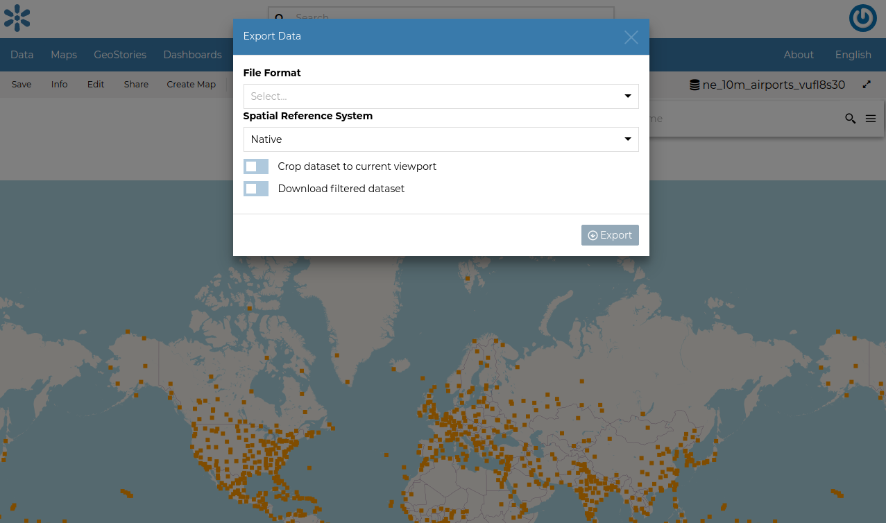
Open the Dataset option you will be able to select from a list of options of the supported export file formats.
Downloading Datasets
As shown in the image above, GeoNode allows you to download a subset of data. Click on Download filtered dataset to download filtered data.
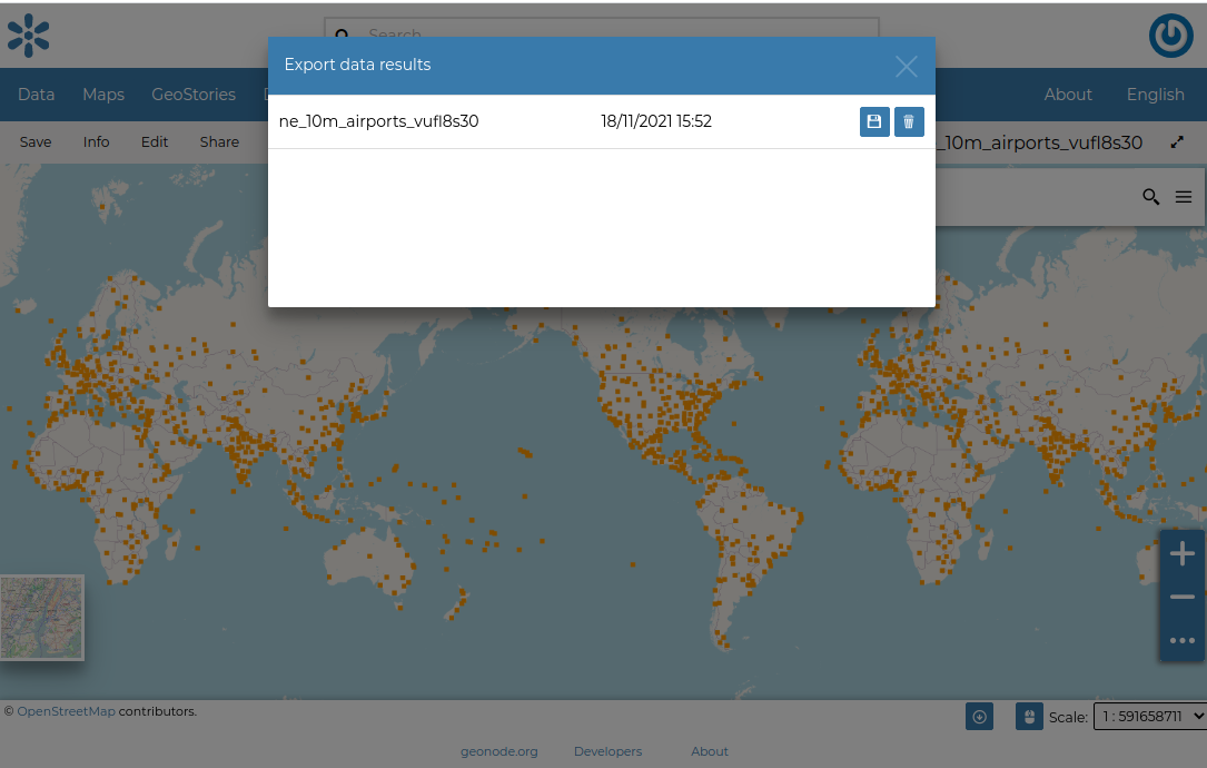
On clicking Export, the file is prepared and a notification is showed when file is ready
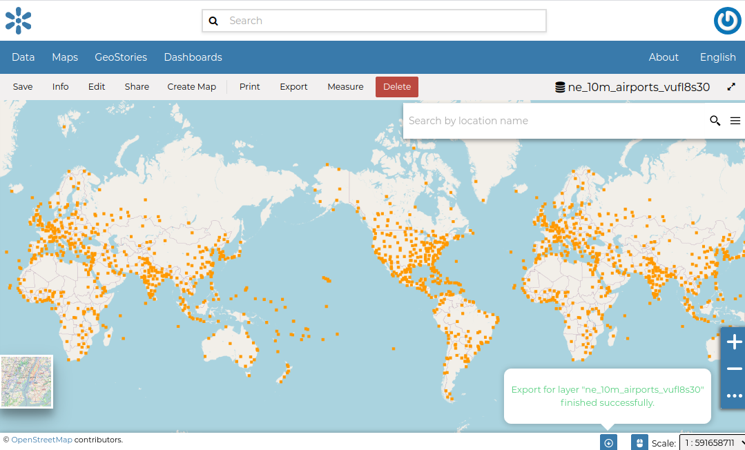
Export Ready
To download the file to your machine, click on the export dataset icon. This opens the prepared export files and you can save the files on your by clicking on the save icon on each item.
Printing
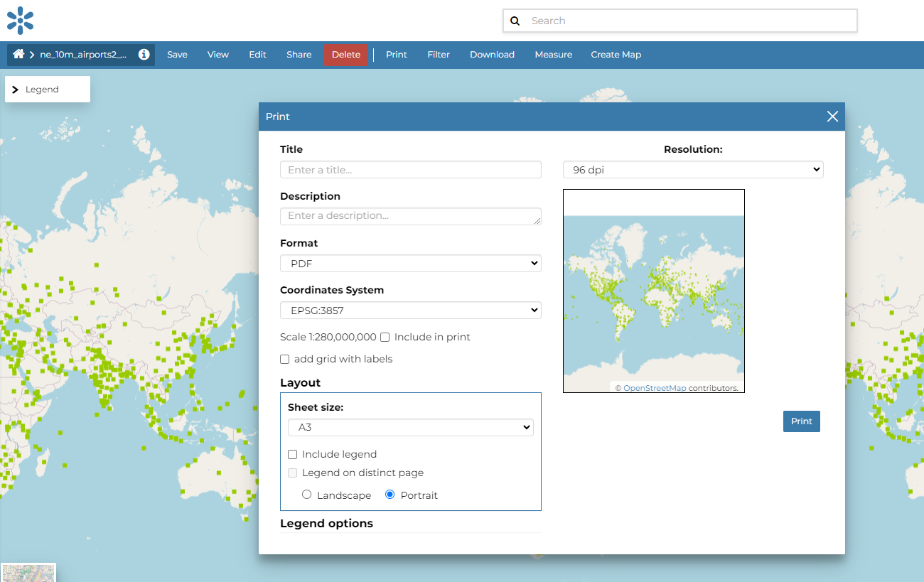
The Printing Window
From this window you can:
enter Title and Description;
choose the Resolution in dpi;
select the format
select the coordinate
add the scale
add grid with label
customize the Layout
the Sheet size (A3, A4);
if include the legend or not;
if to put the legend in a separate page;
the page Orientation (Landscape or Portrait);
customize the Legend
the Label Font;
the Font Size;
the Font Emphasis (bold, italic);
if Force Labels;
if use Anti Aliasing Font;
the Icon Size;
the Legend Resolution in dpi.
To print the view click on Print.