Layer Information
Layer Information
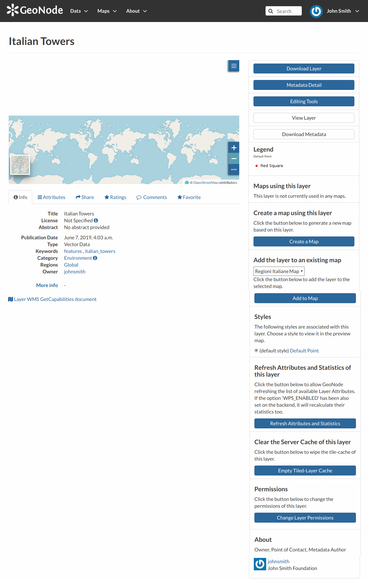
As shown in the picture above, the Layer Page is divided into three main sections:
the Layer Preview section, under the title
the Tabs section, under the layer preview
the Tools section, on the right side of the page
Layer Preview
The Layer Preview shows the layer in a map with very basic functionalities:
the Base Map Switcher that allows you to change the base map;
the Zoom in/out tool to enlarge and decrease the view;
the Zoom to max extent tool for the zoom to fit the layer size;
the Query Objects tool to retrieve information about the map objects by clicking on the map;
the Print tool to print the preview.
Layer Preview
The GeoNode map viewer is MapStore based, see the MapStore Documentation to learn more.
Tabs Sections
The Layer Page shows you some tabs sections containing different information about the layer:
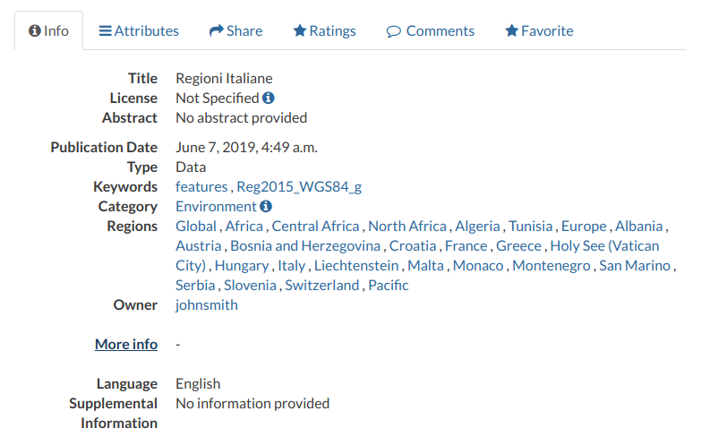
The tab Info is active by default. This tab section shows some layer metadata such as its title, the abstract, date of publication etc. The metadata also indicates the layer owner, what are the topic categories the layer belongs to and which regions are affected.
Layer Info tab
The Attributes tab shows the data structure behind the layer. All the attributes are listed and for each of them some statistics (e.g. the range of values) are estimated (if possible).
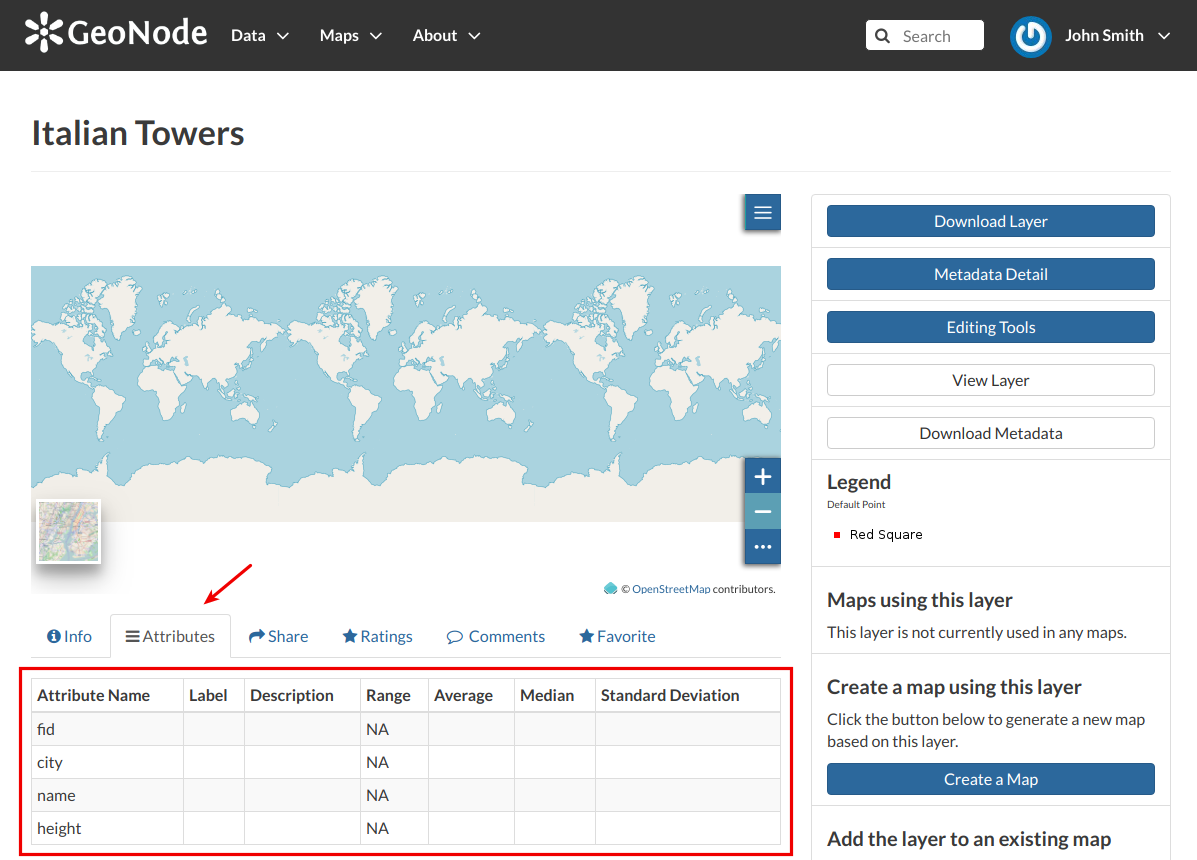
Layer Attributes tab
The Share tab provides the links for the layer to share through social media or email.
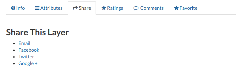
Layer Sharing
You can Rate the layer through the Rating system.
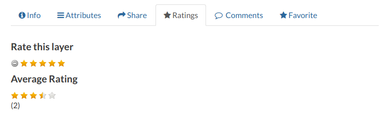
Rate the Layer
In the Comments tab section you can post your comment. Click on Add Comment, insert your comment and click Submit Comment to post it.
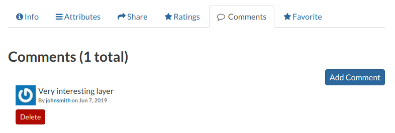
Layer Comments
Your comment will be added next to the last already existing comment. If you want to remove it click on the red Delete button.
If you want this layer in your Favorites (see Updating the Profile), open the Favorite tab and click on Add to Favorites.
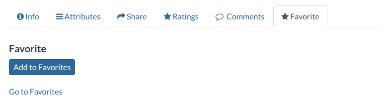
Your Favorite Layer
Layer Tools
In the right side of the Layer Page there are some buttons and information that can help you to manage your layer. This paragraph will cover only those tools which show layers information. The Editing Tools will be explored in the Layer Editing section.
through the Download Layer button you can download your layer with some options, see Downloading Layers;
the Metadata Detail button to see the layer metadata, see Layers Metadata to read more;
the Editing Tools button allows you to access to many editing tools. Those functionalities will be explained in the Layer Editing section;
the View Layer button opens the layer loaded in a map, see the Map Information for more details;
the Download Metadata button allows you to download the layer metadata in various formats;
the Legend shows what the symbols and styles on the map are referring to;
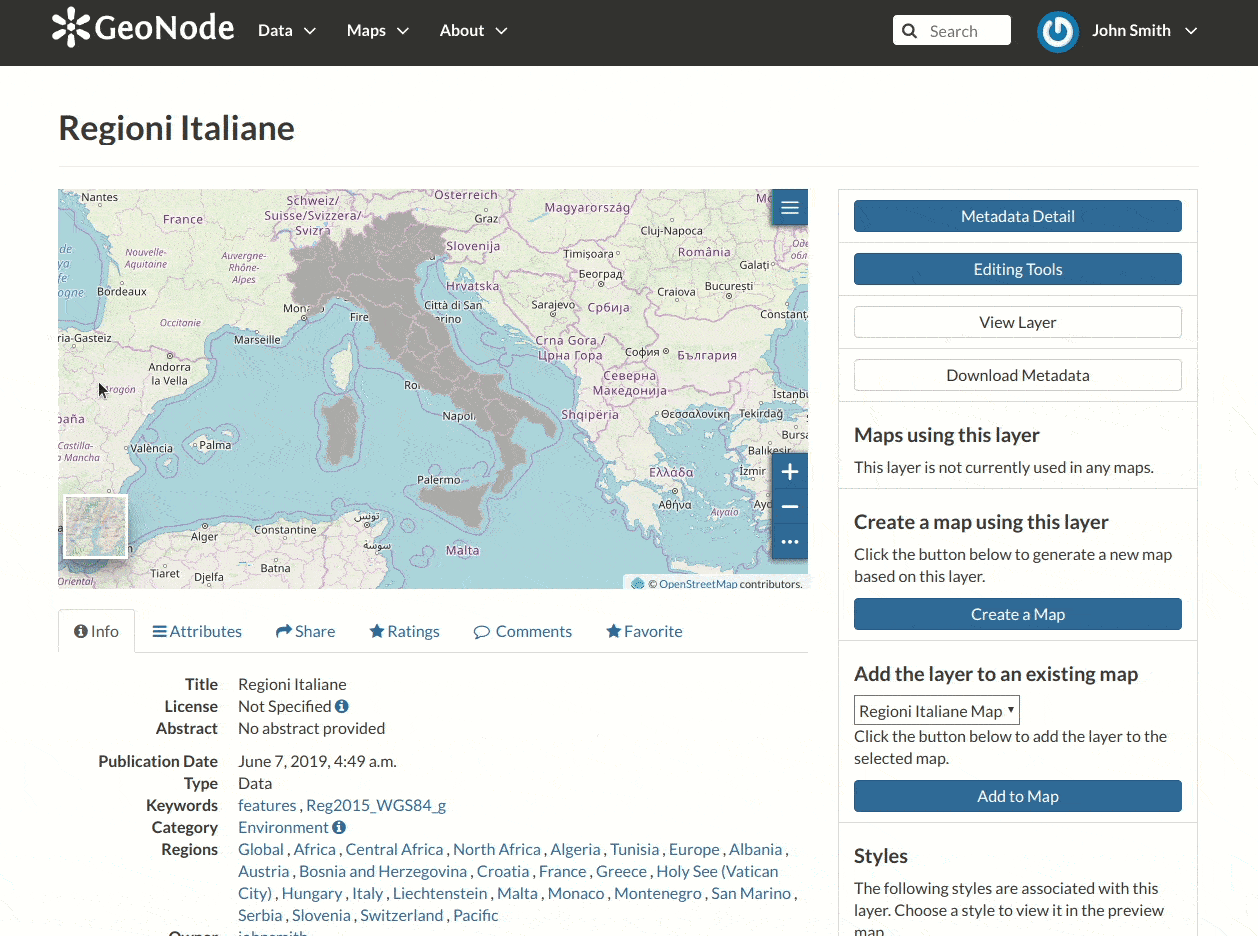
in the Map using this layer section all the map which uses the layer are listed;
in the Create a map using this layer, the Create a Map button allows you to create a map from scratch using the layer;
the section Add the layer to an existing map shows you a dropdown menu in which all the maps the user can view are listed. The button Add to Map allows you to add the layer to the map you have selected in the previous menu;
the Styles section shows all the styles associated with the layer. Click on the checkbox corresponding to one of the styles listed to apply it the preview;
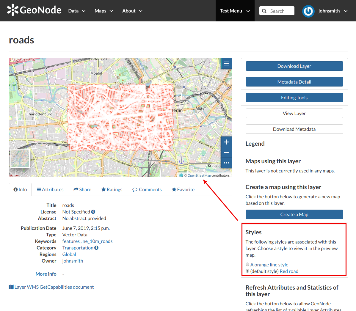
Change the Layer Style in preview
in the Refresh Attributes and Statistics of this layer section the Refresh Attributes and Statistics allows GeoNode to refresh the list of available Layer Attributes. If the option ‘WPS_ENABLED’ has been also set on the backend, it will recalculate their statistics too;
in the Clear the Server Cache of this layer section the Empty Tiled-Layer Cache allows to wipe the tile-cache of this layer;
the About section shows you the layer Owner, the Contact user and the Metadata Author.